The Lakes • Hennepin County, Minnesota • Surveyed
Lake Minnetonka
Where our figure and the state's part: the DNR's deepest contour is 100 ft against LakeFinder's 113 ft, more than one 10 ft interval apart; the cause is not established; OpenStreetMap's relation for the lake is 816 acres smaller than the DNR's figure; whether a bay is mapped as its own water body is not yet checked.
Every contour on the print is a line the state's surveyors drew; nothing between them is guessed. Pin your dock in the studio and it prints under the name your family uses.
What arrives: the print you set up, drawn at the size you choose, shipped flat or rolled by the printer, or a file the same day for the digital edition.
Three of the Nine Styles
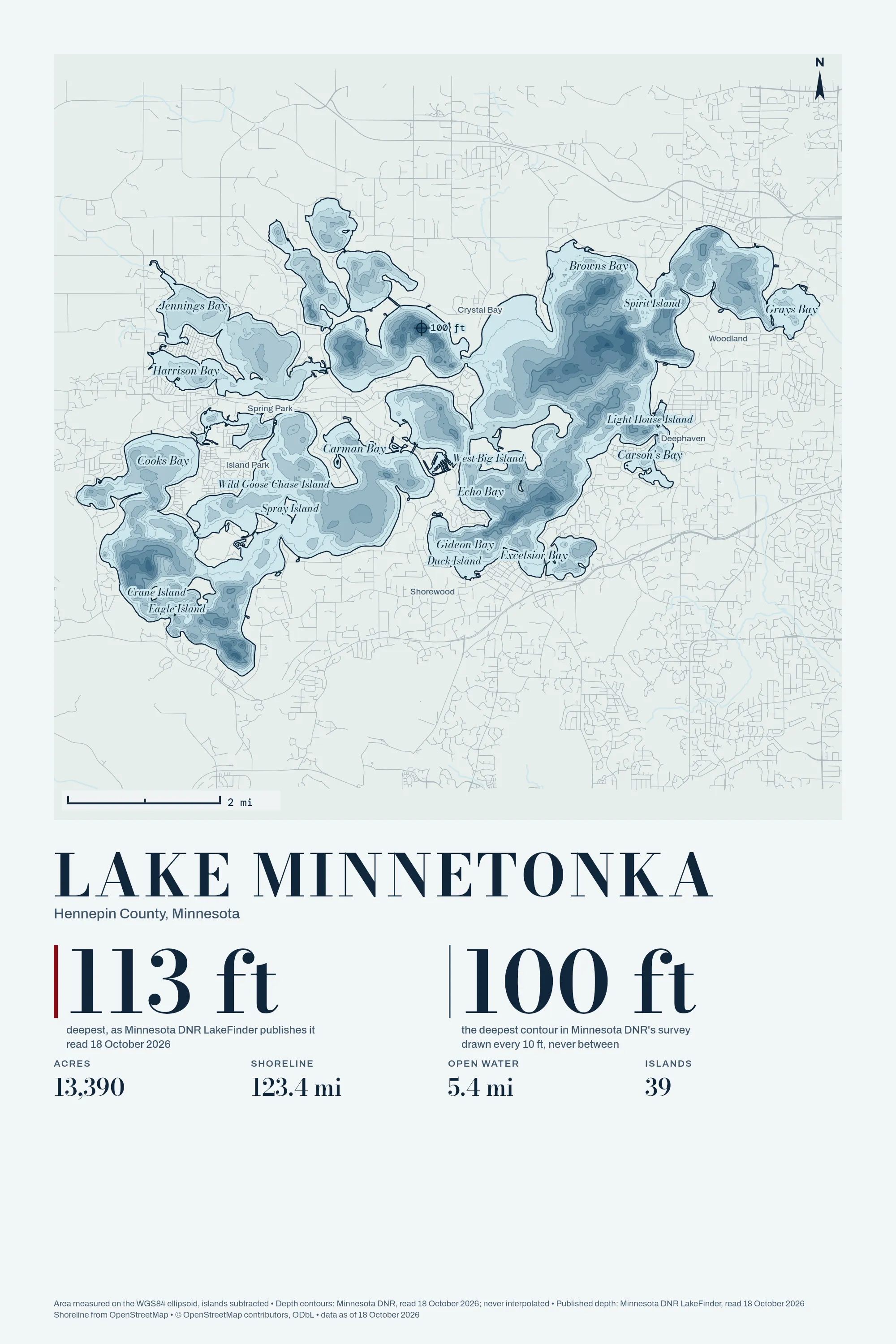
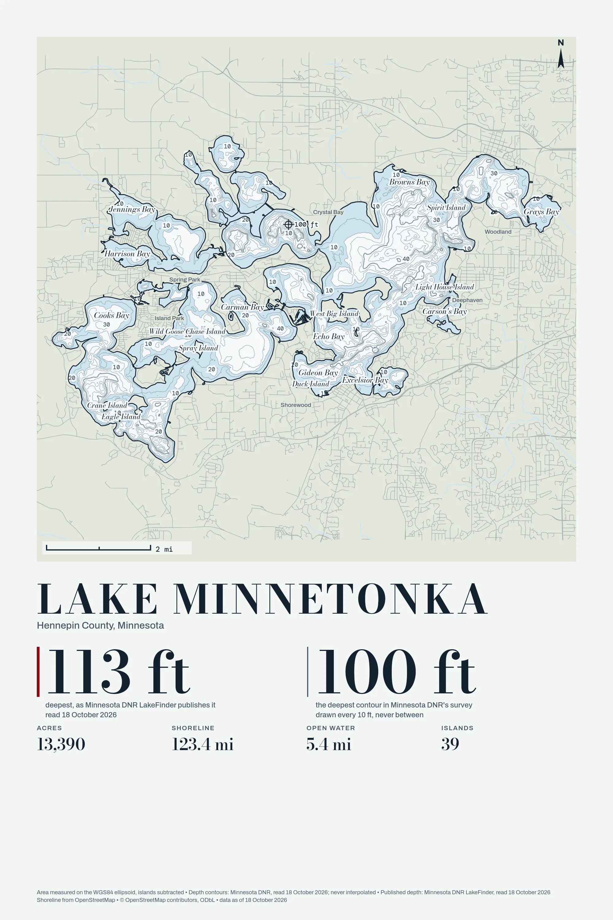
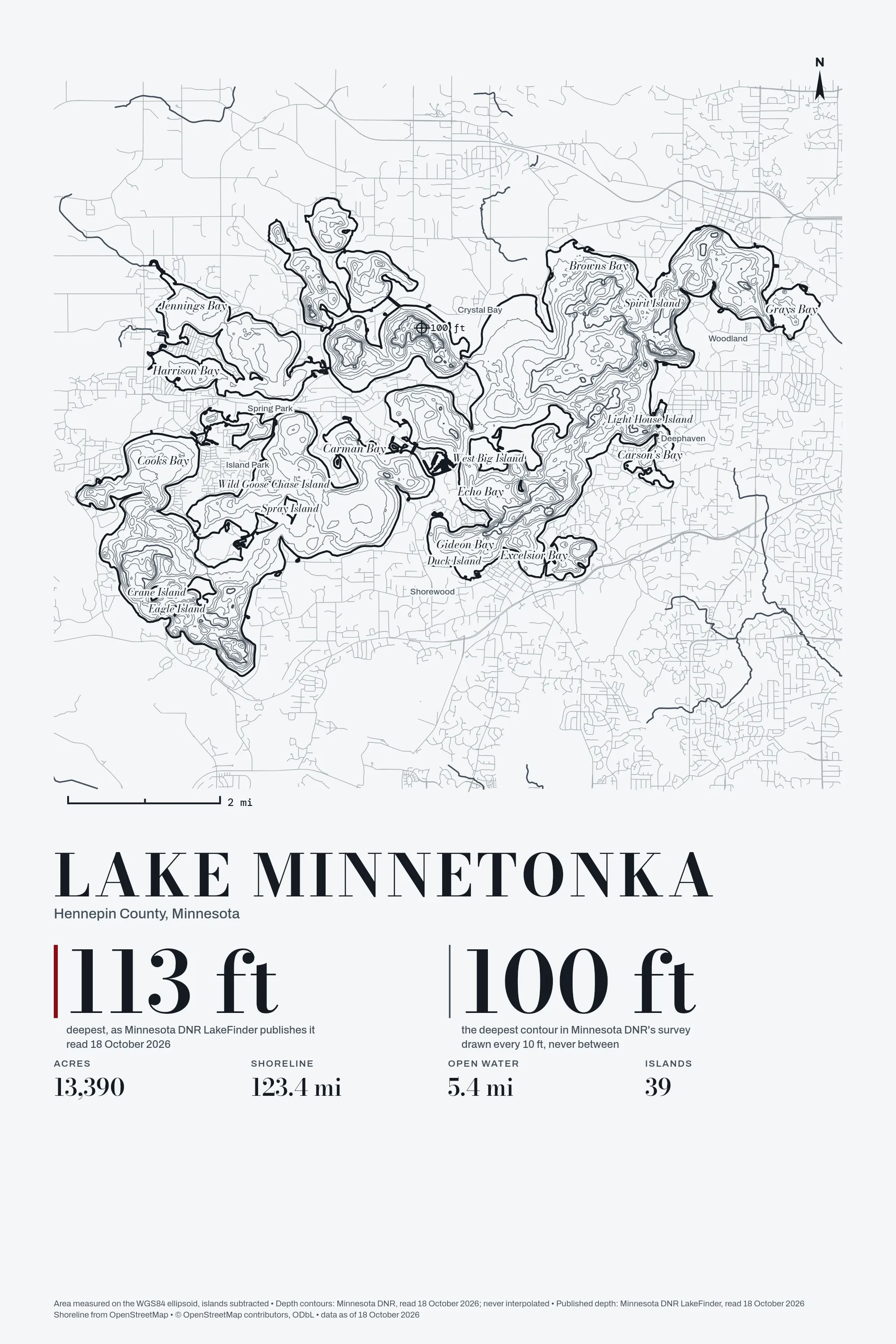
The figures
| Water | 14,205.54 acres published, 13,390 acres measured |
|---|---|
| Shoreline | 123.4 mi, islands included |
| Longest open water | 5.4 mi |
| Islands | 39 |
| Depth survey | Minnesota DNR, read 18 October 2026 |
Where each figure comes from
- shoreline, OpenStreetMap via Overpass: www.openstreetmap.org, read 18 October 2026
- depth contours, Minnesota DNR: enterprise.gisdata.mn.gov, read 18 October 2026
- published, quoted: maxDepthFeet: 113: www.dnr.state.mn.us, read 18 October 2026
- published, quoted: areaAcres: 14,205.54: www.dnr.state.mn.us, read 18 October 2026
- published, quoted: shoreLengthMiles: 133.29: www.dnr.state.mn.us, read 18 October 2026
Not affiliated with or endorsed by any state agency, lake association or realtor; no logos on any print. The drawing is ours, made from the OpenStreetMap shoreline as of 18 October 2026 (© OpenStreetMap contributors. Open Database License 1.0: https://www.openstreetmap.org/copyright).